Nuestros
Trails

Payment
Methods

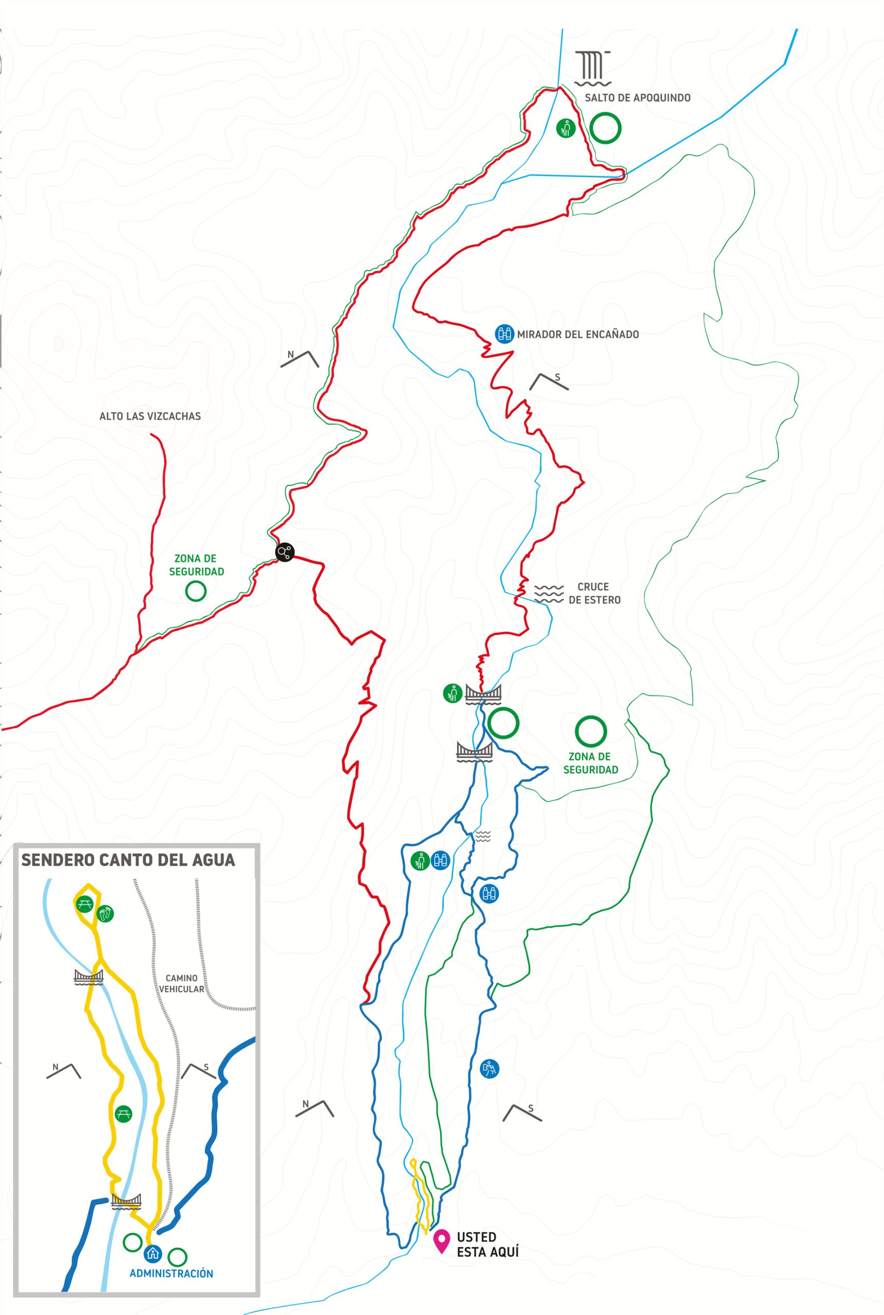
San Carlos de Apoquindo

1 snack area

4 viewpoints

Recycling area

Signposting of trails

1 Dry toilet

2 Shelters (domes)

At altitude 13,000 of the Las Flores road, you will arrive at the San Carlos de Apoquindo Stadium of the Universidad Católica Sports Field. Visitors must arrive at the Futbolito sector, where those who need can park in that sector. Then they must follow the signs until they reach the Park Administration sector.

From the Escuela Militar metro station (Line 1) you must take the Transantiago C02 bus (Paradero PC5869) to the bus stop located at Avenida La Plaza at the corner of Camino El Alba (Paradero PC636). From this point, walk along Av Plaza to the north and go up Camino Las Flores to the right until you reach the entrance to the stadium. Continue going up to the entrance road that is located next to the soccer fields marked with blue signs until you reach the Park Administration sector, where you must register your entrance with the park ranger.

Restrictions
of income

Pets

Drone